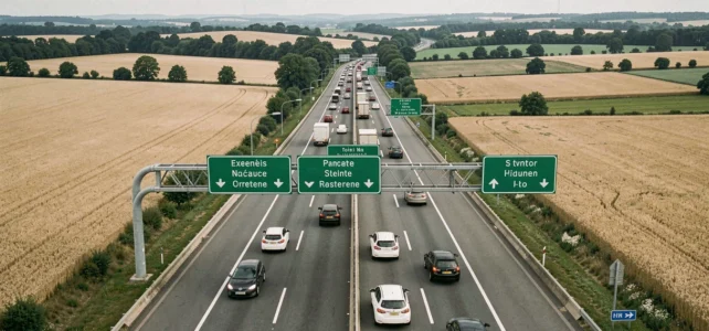
Preparing a highway trip in France is no longer just about choosing between the shortest and fastest route. The French highway network combines toll sections, free portions, and rest areas with very uneven services. Having a detailed map of the highways in France, including tolls and rest areas, changes the way you plan a journey, whether for a weekend or a business trip.
Free flow tolls and electronic toll collection: what changes on the highway map
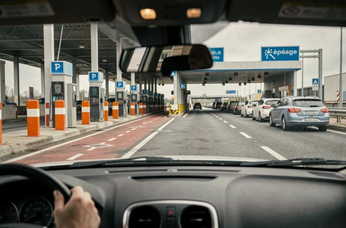
Have you ever noticed a highway without a toll barrier, where payment is made afterward? This system, called free flow, is deployed on several recent sections like the A79 or portions of the A4 and A837. Specifically, gantries detect your vehicle and charge the passage without you having to slow down.
This system changes how a highway map is read. Traditional toll booths, which are clearly visible, disappear in favor of discreet detection zones. If you are driving without an electronic toll badge, you must pay online within a specified time to avoid a surcharge. The free flow eliminates the stop at the toll but imposes a post-payment process.
For vehicles equipped with an electronic toll badge, billing remains automatic. The importance of a detailed map of the highways in France becomes clear here: it allows you to identify in advance which sections operate in free flow, which tolls require a booth passage, and which portions are entirely free.
Charging stations on the highway: a new criterion for choosing rest areas
Until recently, the choice of a rest area was limited to fuel, dining, and restrooms. For electric vehicle drivers, the situation has changed. Fast charging stations have become a key factor in reading maps just like gas stations.
Not all rest areas offer charging. And among those that do, the power of the charging stations varies. A map that distinguishes rest areas equipped with fast charging stations from others helps avoid unpleasant surprises, especially on long trips where range is managed step by step.
How to identify rest areas with fast charging
Recent travel guides recommend checking the availability of charging stations before departure, cross-referencing the highway map with dedicated charging platforms. Some areas marked as “service areas” only have slow chargers, sufficient for a heavy truck parked for several hours but unsuitable for a twenty-minute break.
- Look for areas identified as “fast charging” on the map, often indicated by a specific pictogram.
- Check the connector compatibility with your electric vehicle before planning the stop.
- Plan a backup rest area on your route, in case the chargers at the first one are out of service or occupied.
Rest areas and drowsiness prevention: beyond restrooms
Rest areas are spaced about one stopping point every fifteen kilometers on the concession network. Their role goes beyond simple refueling. Some areas now offer facilities dedicated to preventing drowsiness.
Installations such as lounge chairs, cocoon beds, or large cushions have been made available at several areas during the summer periods. This type of setup transforms the highway break into a true recovery moment, not just a technical stop.
Price discrepancies at rest areas: a topic distinct from tolls
The highway budget is not limited to the cost of tolls. Price discrepancies between rest areas can reach several dozen percent for the same product. Fuel, dining, emergency products: prices vary significantly from one area to another, sometimes even on the same highway.
A detailed map allows for comparing available services and anticipating stops. Exiting at an interchange to refuel in a commercial area often remains more economical, provided it has been planned in advance on the route.
Low emission zones and highway route planning
Why this topic in an article dedicated to highways? Because low emission zones (LEZ) located on the outskirts of major urban areas like Paris, Lyon, or Marseille change the planning of trips that combine highways and urban networks.
Public highway maps often omit restrictions related to LEZ. A vehicle classified as Crit’Air 4 or 5 can use the highway without issue but may be prohibited from entering the destination metropolitan area as soon as it leaves the network.
- Check your Crit’Air sticker before planning a trip to an area with an LEZ.
- Identify on the map the highway exits that provide access to unrestricted zones, particularly relay parking on the outskirts.
- Heavy trucks and utility vehicles are often the first affected by traffic bans in LEZ.
Paper map, GPS, or app: which tool to read the highway network
The paper map offers an overview that a GPS screen does not easily replicate. It allows you to visualize the major routes (A6 Paris-Lyon, A7 Lyon-Marseille, A10 Paris-Bordeaux) and understand the network’s logic at a glance.
The GPS excels in real-time navigation and traffic information. The ideal is to combine both: the map for strategy, the GPS for execution. Mobile apps add a layer of services at rest areas, estimated toll prices, and sometimes the availability of charging stations.
No single tool perfectly covers free flow tolls, LEZ, charging stations, and service area prices. Cross-referencing sources before departure remains the most reliable method for a trip without unpleasant surprises on the French highway network.